Introduction to your content curator
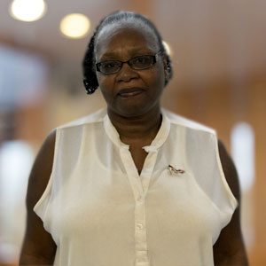
I’ve been asked to be an editor of the environment and natural resources sector page of the GBI blog, so I’m writing a few words by way of introduction. My name is John Waugh. I live in the rural Virginia Piedmont, and have three decades of experience in natural resource management, running the gamut of conservation. I started out as a firefighter for the US Forest Service and US National Park Service (a little shout out to the old Flathead IR and the Arrowhead Hotshots). By turns I became a technician on fire ecology studies, a Park Ranger, and then, as a Peace Corps Volunteer, the manager of two World Wildlife Fund projects in West Africa. This was followed by a long sojourn at the International Union for Conservation of Nature (IUCN), where I helped to develop a marine program, managed UN relations, and represented the conservation community at a range of intergovernmental processes addressing biodiversity conservation. Work has taken me to over sixty countries on every continent except Antarctica. For the past several years, I’ve been working as a private consultant conducting program evaluations, developing and implementing projects, and providing advice on conservation strategies and planning.
Through all of this, I’ve been watching with interest the liberating role that technology can play in natural resource management. Recently I returned to Liberia after a 24 year absence to assist a USAID funded project on land rights and community forestry. In a meeting with government community leaders, I experienced a moment of cognitive dissonance when cellphone calls interrupted the flow of the discussion. 24 years ago, it would have been impossible for community leaders to consult with their base while sitting in a meeting in Monrovia. When technology can facilitate information exchange in real time, participation becomes a real possibility.
I recently completed a participatory GIS project with colleagues in the Cook Islands (I know, I know – you go bust your butt for 30 years and you too may get your chance!). The goal was to facilitate community-based climate adaptation planning using maps. We superimposed data collected by the community using handheld GPS units with satellite imagery, existing government map layers, and climate models, and produced custom maps as the starting point for adaptation planning. Sally Duncan and Denise Lach of Oregon State University describe what can happen: “the deliberative interactions … altered the power held in the privileged knowledge of scientists….GIS technology routinely used to generate such interactions, [can] potentially contribute to the development of new knowledge communities, in which public participation, scientific research, local/traditional ecological knowledge, and technology combine to change the nature and the locus of power in natural-resource management. …”
Of course technology can just as easily be used to achieve the opposite results. The potential is huge and the change is rapid. I look forward to exchanging views with the GBI Portal readers on opportunities, and on good practices, for the use of technology for NRM.
I also blog (intermittently) at www.green-hand.net, where you’re welcome to visit and chew the fat.


